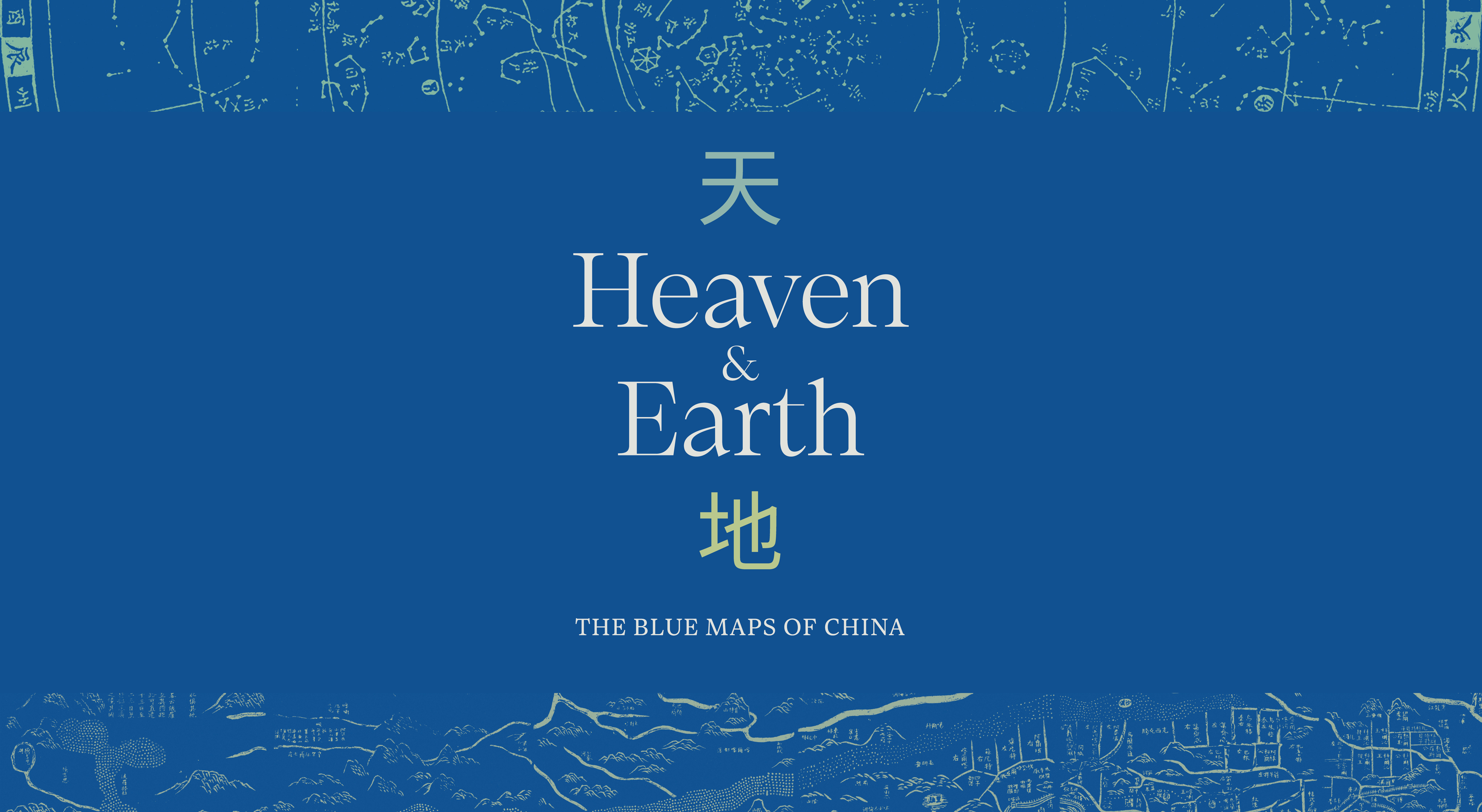
Heaven & Earth: The Blue Maps of China
April 24, 2025 – March 29, 2026

How do maps contribute to a sense of national and cultural identity? During the first decades of the nineteenth century, China was in a moment of transition, grappling with its geopolitical status as both an ancient and modern nation-state. It was in this moment that two series of large-format maps, one terrestrial and one celestial, were printed in the city of Suzhou. These maps were presented in an extraordinary format, on eight vertical sheets printed in the style of rubbings. Even more strikingly, they were rendered in a rich Prussian blue coloring. The blue maps were more than just visually astonishing. They also captured Chinese ideas about the relationship between terrestrial and celestial space, and provide insight today into how Chinese scholars and artists conceptualized the world around them. This exhibition considers these two blue maps in the context of their production, consumption, and functionality, revealing them as unique objects in the global history of mapmaking.
The blue maps were created in the early 19th century, and represent the moment before foreign intrusion, internal rebellion, and widespread corruption weakened the Qing court’s grip on power that forced sojourners from Guangdong and Fujian provinces to flee and chase dreams beyond China, re-mapping the Chinese diaspora across oceans.
Heaven & Earth: The Blue Maps of China originated at the Norman B. Leventhal Map & Education Center at the Boston Public Library and was curated by Dr. Richard Pegg.
Heaven & Earth: The Blue Maps of China and related programs are made possible with generous support from the New York State Council on the Arts with the support of Governor Kathy Hochul and the New York State Legislature and public funds from the New York City Department of Cultural Affairs, in partnership with the City Council.